
41° 36' 57" N70° 30' 34" W
Learn more about Lat/LongWe are glad to be learning to the really big gymnasium at Mashpee Middle School, which we last visited in March of 2011. Please see the post from our previous visit for some interesting information about this unique town.
The town of Mashpee makes it convenient for residents to explore their community through an online Geographic Information System (GIS) hosted by Maps Online. The screenshot below shows the area surrounding the school itself, with identified wildlife habitat, vernal pools, and elevation contours featured. Viewers can examine other features of interest throughout the town and at a variety of scales.
 |
| Click to enlarge or make your own map at Mashpee Maps Online |

As we all know, the entire Northeast region was recently affected by a major storm. In an earlier post, we described some of the geography related to forecasting for Hurricane Sandy. It became known as Super Storm Sandy because it was "only" a Category One hurricane, but was unusually large and arrived at the same time as a mid-latitude nor'easter storm.
 |
| October 28 image as shown by UK Telegraph. |

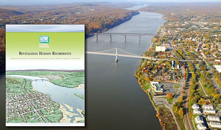
Meanwhile, planning and geography professionals in New York - a bit upriver from the City -- have created Revitalizing Hudson Riverfronts. It is both a book published in 2010 and a series of workshops and meetings to help communities prepare for rising water and other consequences of climate change. The next meeting is next week, and it is certain to get a lot of attention!
No comments:
Post a Comment